We departed Hanksville and drove 40-some miles to Capitol Reef National Park. The scenery was fantastic once again, though perhaps a step down from the previous two days. We decided on a hike up to Cassidy Arch, and started up a fairly steep canyon wall.

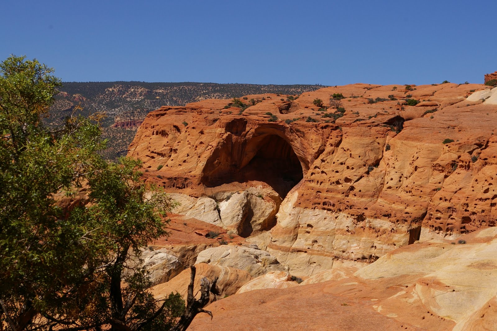
We got a good view of what we thought must be the arch.

But somehow we hiked on and on, well past the 0.5 miles a previous sign indicated. We did enter a scenic valley on the other side before turning around.

We encountered another couple hiking up on our way back, and warned them it must be the wrong trail, so we weren't the only ones who went astray. We studied the sign and the fork in the trail on our way back. You can see a trail on each side of the sign, and we took the left trail. However, the correct trail was actually behind my left shoulder. (We gave feedback to the park ranger later that they should improve the signage.) So I figure we got a bonus two miles added to our hike of around five miles.

We hiked over some interesting rocks out to the arch. In fact, it reminded me a lot of some of the Yosemite domes we hiked on. It was a bit windy and precarious looking down into the arch. I walked out on the top of the arch for this picture--it wasn't as scarey as it might appear.

We did another short hike out to some ancient petroglyphs and some pioneer autographs. Then we headed south on highway 12 towards Escalante and Bryce Canyon. I had heard this highway was spectacular, and it was indeed. It was only completed within the last few decades and traverses some seemingly impossible terrain. At one point I felt like we were driving on one of those canyon blades. There was a steep drop off on either side of the road. We also reached pretty high elevations (9,000 feet plus or minus), and the air temperature was in the 60's (so refreshing!).
In Escalante we ate a steak dinner at the only restaurant in town, and got some groceries at the only store, then headed on into Bryce Canyon National Park, and were fortunate to snag the 2nd to last campsite in the park just before dark.
Next up, Bryce Canyon!